The Research Instruments
In addition to the research platforms such as the zeppelin and research vessels, there are also a number of scientific instruments. They are being exposed in the water, pulled behind the vessel or watched from afar:
ADCP
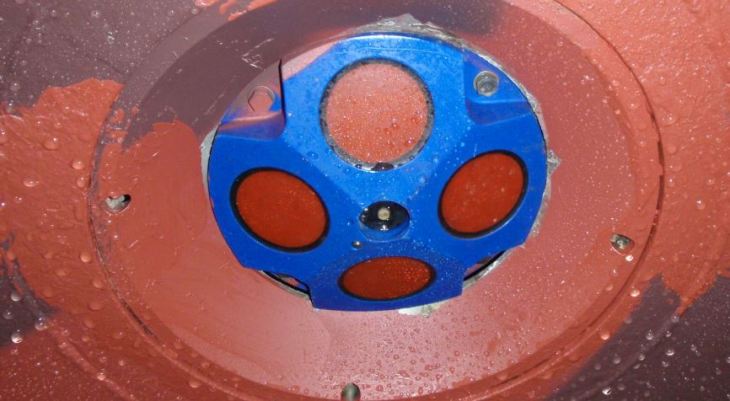
ADCP stands for Acoustic Doppler Current Profiler. The ADCP is a current meter that utilises the Doppler effect to measure velocity. With a ship-based ADCP, the water velocities relative to the ship can be measured, from which the absolute velocity of the water can be determined.
Cameras: Infrared camera, hyperspectral camera
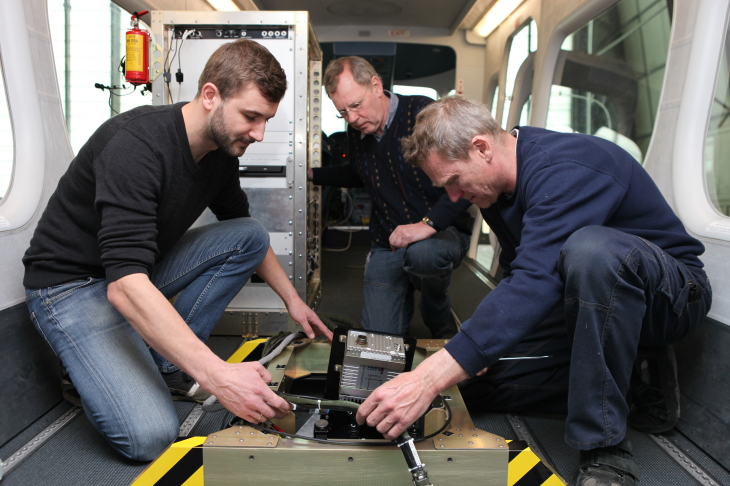
The scientists use two special cameras for their work on board the zeppelins. A highly sensitive infrared camera provides temperature maps of the water surface, capturing one hundred images per second. The thermal imaging camera measures even small temperature differences of 0.03 degrees Celsius.
The small eddies can then be detected and the currents can be calculated. The cameras are permanently pointed at the eddy from the zeppelin and measure it in high pixel resolution of less than one square meter. This resolution is one million times finer than the satellite’s temperature measurements.
The second camera is a hyperspectral camera. This device records up to one thousand different bands of the light spectrum and is thus able to determine the "colour" of the water. The scientists hope, in the long-term, to be able to draw conclusions on the condition and growth of algae from the air.
Drifters
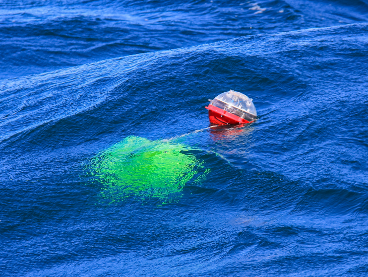
Several drifters or drifting buoys are also used. They provide data via satellite on ocean currents and salinity.
FerryBox
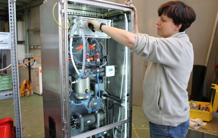
FerryBoxes are automated measuring systems, which are used to determine physical and biogeochemical parameters of surface water. They are installed on all three research vessels for the duration of the expedition, but can also operate autonomously on ferries, cargo ships or at fixed stations. The FerryBox measures temperature, salinity, turbidity, chlorophyll, pH values, oxygen content, algae groups and nutrients.
Gliders
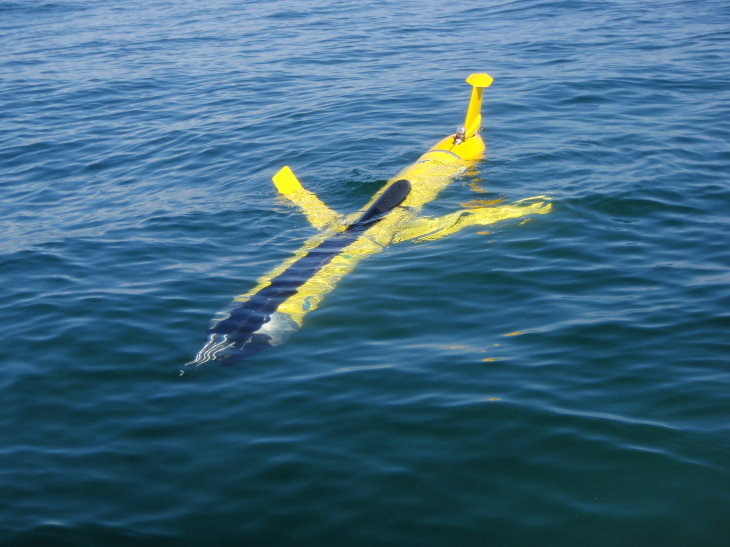
Several ocean gliders are utilised (Slocum Gliders). These are unmanned diving robots that use a similar principle as sailplanes (gliders) to drive themselves, replacing the need for a propeller. The advantage of this kind of propulsion is the low energy requirement, whereby the gliders can remain in continuous use over long periods of time. The ocean gliders used in this campaign, "Amadeus", "Sebastian", and “Comet”, are equipped for measurements with optic as well as microstructure sensors. With an overall length of one-and-a-half metres, they move at a speed of approximately one kilometre per hour and can reach a depth of one hundred meters.
MONSUN swarm robots
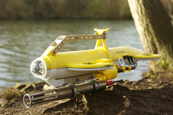
What are known as MONSUN swarm robots are also utilised. They were developed within the Institute of Computer Engineering at the University of Lübeck. At a speed of seven kilometres per hour, they are employed in the upper twenty meters of the Baltic Sea. Four vertically aligned and two horizontal waterproof propellers allow dynamic diving, forward and reverse propulsion and rotation around the longitudinal and transverse axes.
Radar
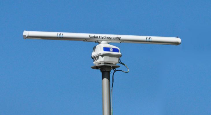
Special ship radar systems can also be used scientifically. They cover the ocean surface in a radius of up to three kilometres around the ship. The sea state, wind velocity and—at a shorter distance—the surface currents can be determined from the radar backscatter. The radar also helps the scientists locate the eddies because the roughness of the sea surface is altered by the eddies and they thus become visible on radar.
Scanfish™
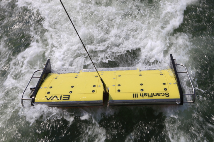
The Scanfish™ is an instrument that is “towed”. It moves up and down through the water and can accommodate several oceanographic sensors. The density of the water, the oxygen content and algae concentration along the research vessel's route are measured as the Scanfish™ oscillates in the water, providing a detailed glimpse into the ocean.
Towed instrument chain
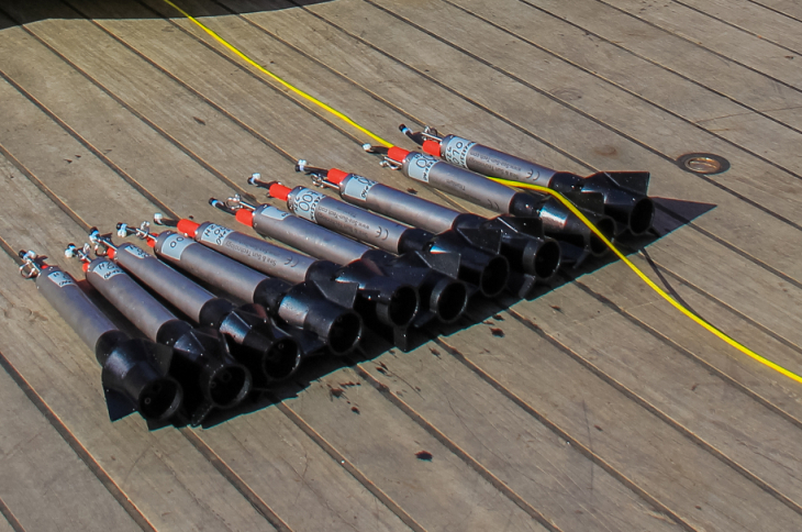
Several instrument chains are pulled through the eddies by the ship. Sensors are attached to the chain at ten levels of depth and measure temperature, salinity, oxygen concentrations and chlorophyll. A depressor weight is attached at the lower end, which pulls the chain downward even at the considerable speed of ten knots (five meters per second) and keeps it at a depth of up to fifty meters. The towed instrument chain measures how much potential energy exists in the eddy and how microalgae are influenced by the eddy.